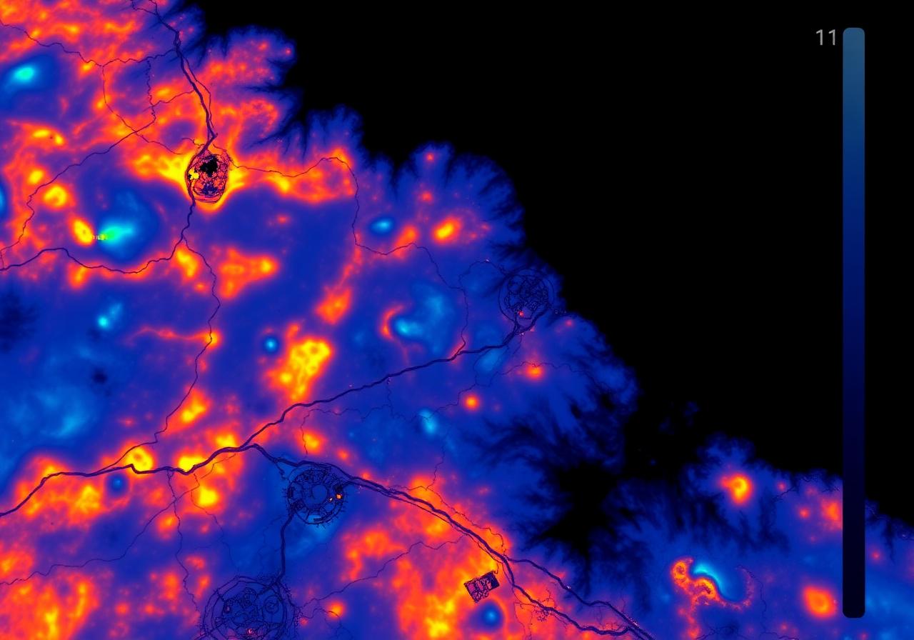
Thermal Imaging
Multi-spectral fusion across LWIR and visible bands.
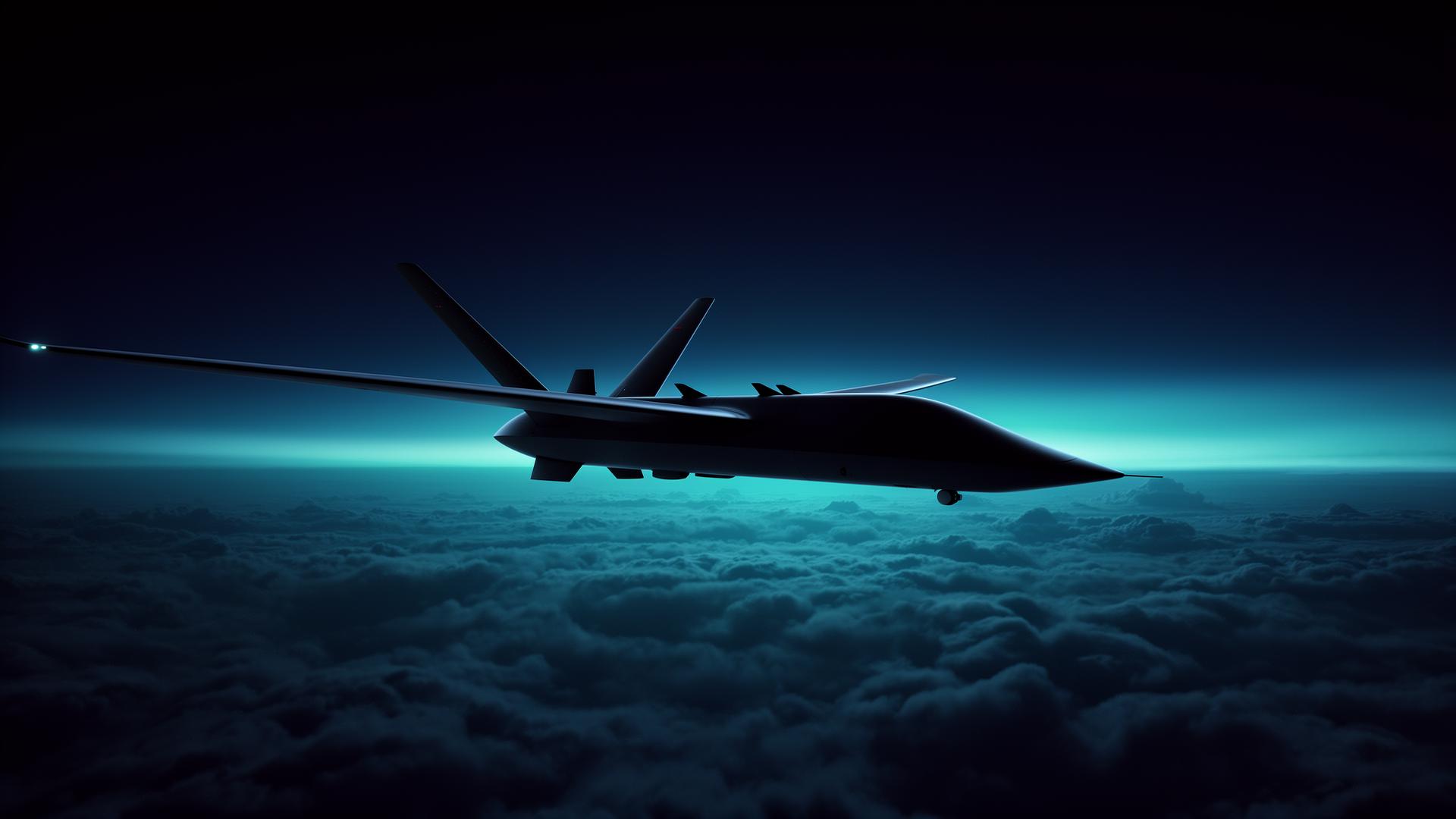
Aerospace Systems · Kyiv · Est. 2017
We develop advanced machine learning, thermal imaging analytics, edge computing systems, and autonomous aerial intelligence platforms for critical infrastructure monitoring, emergency response, and next-generation aerial operations.
01 — Company
AeroVision Dynamics designs, builds, and deploys autonomous perception systems for unmanned aerial platforms. Our engineering teams in Kyiv combine deep expertise in computer vision, embedded systems, and aerospace software to deliver mission-critical intelligence to operators worldwide.
02 — Platform
Real-time object detection, classification, and tracking from aerial platforms.
Long-wave infrared analytics tuned for low-visibility environments.
On-board neural networks trained on millions of aerial frames.
Sub-watt inference modules engineered for embedded UAV avionics.
GNSS-denied flight control with visual-inertial odometry.
Sensor fusion pipelines aggregating EO, IR, and telemetry streams.
03 — Technology Showcase
Multi-spectral fusion across LWIR and visible bands.
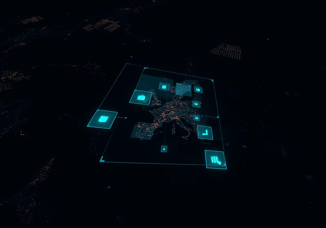
Real-time classification and persistent tracking.

Sub-10W neural accelerators built for flight.
01
Persistent monitoring of energy grids, pipelines, and transport corridors.
02
Search-and-rescue platforms operating in degraded visual environments.
03
Long-endurance survey of remote terrain, wildfire, and flood zones.
04
Automated asset inspection for wind, solar, and heavy industry.
Our R&D division publishes peer-reviewed work on aerial perception, embedded inference, and mission planning — and ships every result into production avionics.
AVD-2024/RE-118
Multi-Object Tracking on Embedded Tegra Platforms
AVD-2024/RE-104
Thermal-RGB Late Fusion for Search & Rescue
AVD-2023/RE-992
Visual-Inertial Odometry in GNSS-Denied Flight
AVD-2023/RE-871
Sub-Watt Inference for Persistent Aerial Survey